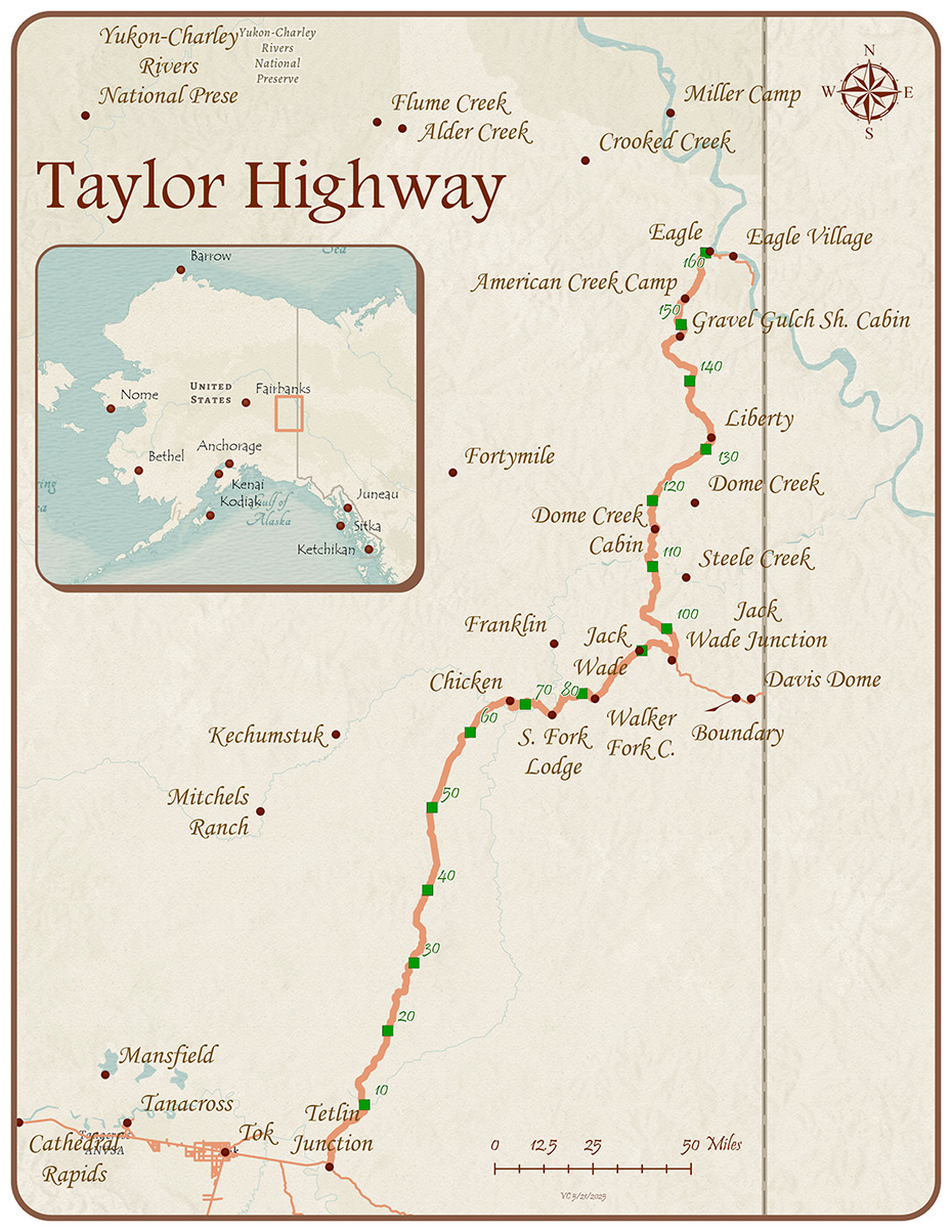
The Taylor Highway provides access to the historic Fortymile gold mining district. It's a narrow winding and beautiful road that joins the Top of the World Highway, which leads to Dawson City, Yukon Territory.

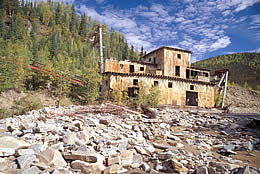
Gold mining dredge on Jack Wade Creek.
Credit: Dan Gullickson, BLM

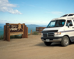
Wayside near the Yukon border on the Top of the World Highway.
Credit: Sharon Wilson, BLM

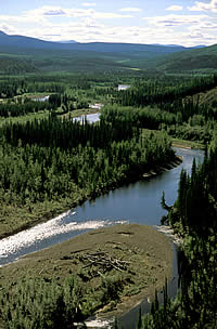
Mosquito Fork of the Fortymile River near Chicken.
Credit: Craig McCaa, BLM
- Keep your camera ready for spectacular views of the Alaska Range and the Mentasta Mountains as you head out of Tetlin Junction.
- Pass through the Fortymile goldfields, made famous in Jack London novels. The Fortymile River system is a National Wild & Scenic River with miles of exciting whitewater.
- Visit Chicken, a town named by early settlers unable to spell Ptarmigan.
- The Top of the World Highway joins the Taylor Highway at Jack Wade junction.
- Continue on to the U.S./Canada border at Boundary, then to Dawson City, 78 miles farther. Look for old mine workings along the way.
Caution: Road conditions vary. The Taylor and Top of the World Highways are mostly gravel with several steep, narrow grades and long distances between services. Winter road maintenance is not provided.
- Alaska
Public Lands Information Center
907-883-5667
Alaska Highway MP 1314
PO Box 359, Tok, AK 99780 - Tok
Visitor Center
907-883-5775
 info@tokalaskainfo.com
Questions about the Scenic Byways web site? ![]() dot.scenic.byways@alaska.gov
dot.scenic.byways@alaska.gov


