Dalton Highway Updates
May 20, 2016
Note: This will be the last daily Dalton Highway update, unless conditions change significantly or water threatens the roadway.
Temperatures along the Dalton Highway south of Deadhorse remain above average, with a high in the upper 40s today. The warming trend is expected to continue for the next several days, with highs in the mid to upper 50s. The forecast calls for rain Saturday and Sunday.
River levels generally are down near the highway.
The road remains in good condition. Impacts to the road this weekend will depend on the discharge produced by the warmer temperatures and precipitation and whether ice jams form as a result of these factors.
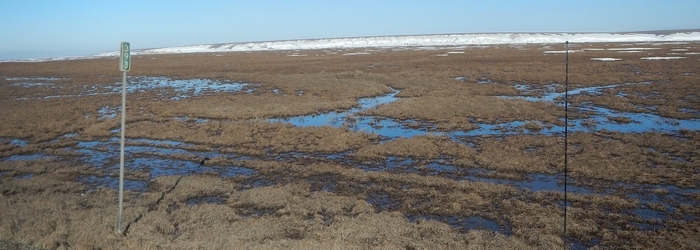
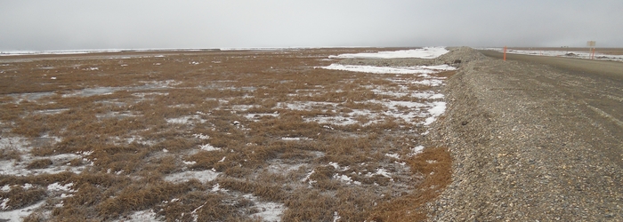
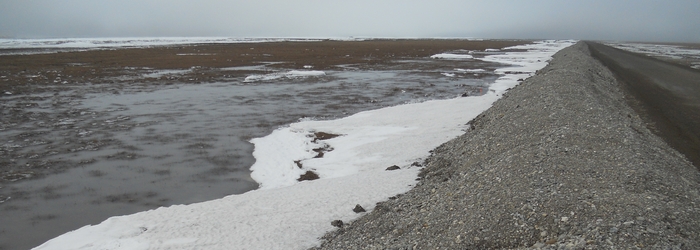
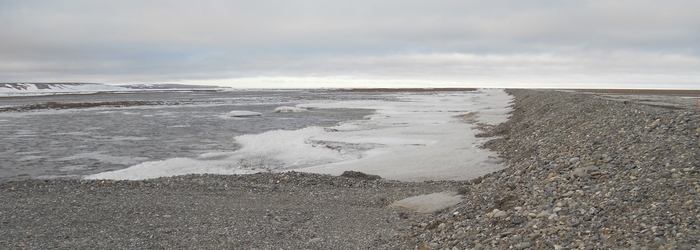
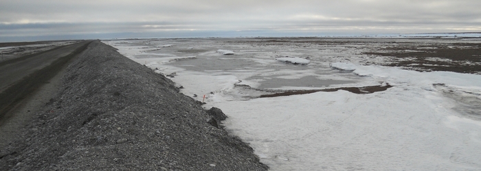
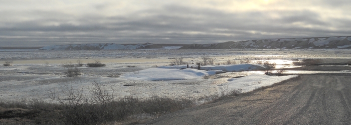
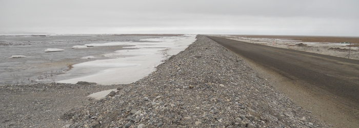
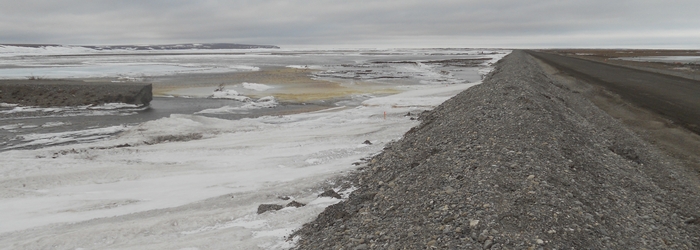
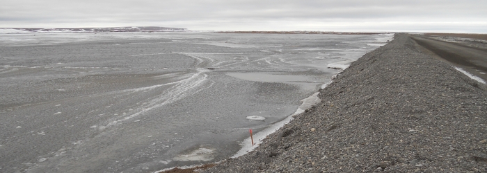
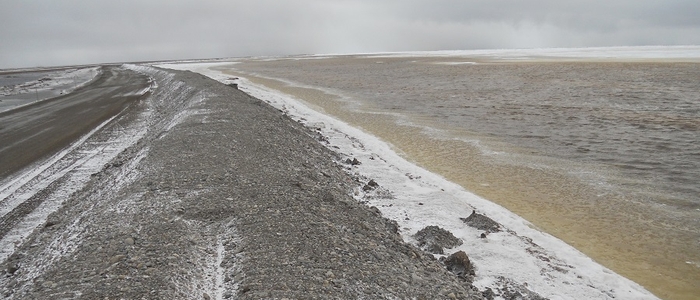
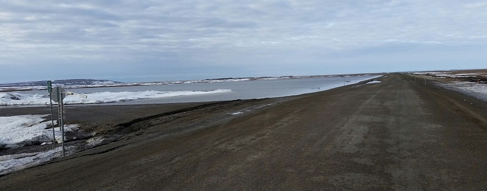
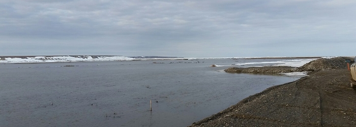
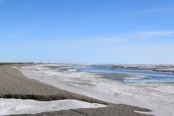
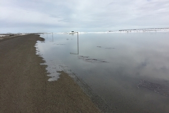
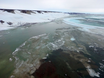
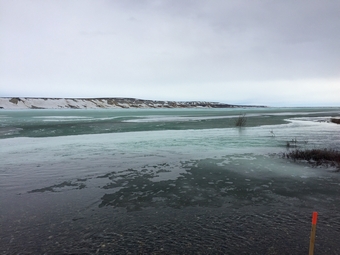
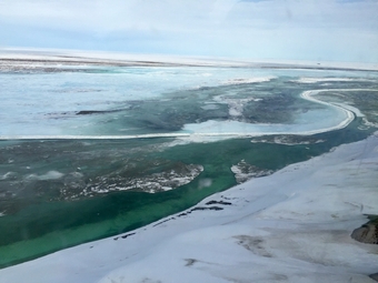
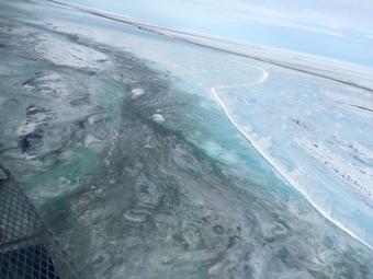
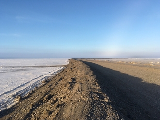
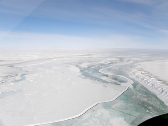
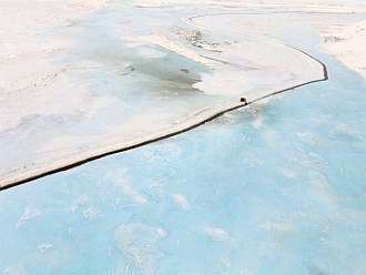
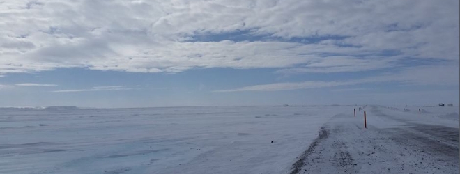
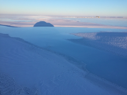
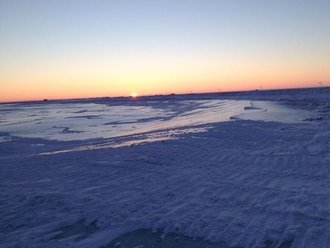
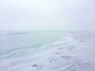
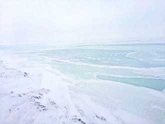
- Tundra is seen around Mile 393 Dalton Highway.
- Water flows near the highway between Miles 402-403.
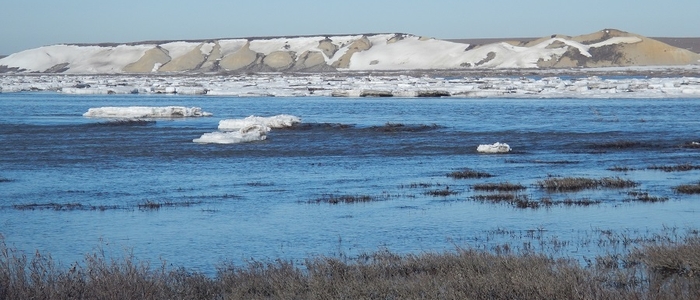
- Water flows off to the side of the highway near Miles 387-388.
May 19, 2016
Temperatures along the Dalton Highway are warming up. Today’s high was 46, the forecast low for tonight is 28 degrees. The next few days are forecast to remain in the 40s during the day, with temperatures dropping at night.
Snow, ice and water are still present near the highway, but water levels decreased up to 12 inches since yesterday.
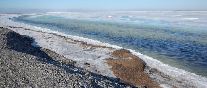
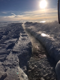
- Dalton Mile 397, looking south. Water and ice along the gravel berm, levels have dropped from yesterday.
- Dalton Mile 396.7, looking north. Water and ice along the gravel berm.
May 18, 2016
Temperatures along the Dalton Highway remain cool. Today’s high was 34, with 30 mph winds, the overnight low is expected to be 23 degrees. Tomorrow, temperatures are forecast to begin warming.
Snow, ice and water are present near the gravel berms, but there has not been a significant change in the water level. The gravel berms continue to hold back the water, no water is on the roadway.
- Dalton Mile 397, looking South. Water and Ice along Gravel Berm.
- Dalton Mile 396.5, looking North. Water and Ice along Gravel Berm.
- Dalton Mile 387, looking northeast at an Alyeska Spur Dike and ice in river.
May 17, 2016
Conditions today were very similar to yesterday; temperatures along the Dalton Highway just south of Deadhorse remain cool, slowing down the melting. The high for the day was 33, with 30 mph winds, the overnight low is expected to be 19 degrees. Temperatures are forecast to rise beginning Thursday, which could lead to another significant round of melting this weekend.
USDA SNOWTEL estimates that approximately 75 percent of the snowpack remains in the upper Sagavanirktok basin, and approximately 50 percent remains in the middle basin. The Sagavanirktok River likely saw its highest water level elevations this past weekend. The river has not yet had peak discharge flow, though, so the potential for water overtopping remains.
Water levels near the gravel berms increased from yesterday, but the berms continue to hold back water from Mile 394-397. No water is on the roadway.
- Looking south from the north end of gravel berm, Dalton Highway Mile 397.
- Looking south from Spur #3.5, water levels are higher than yesterday, Dalton Highway Mile 395.4.
- Looking south, Dalton Highway Mile 394.8.
May 16, 2016
Temperatures along the Dalton Highway just south of Deadhorse remain cool. The area saw scattered snow and a high of 30 today with overnight lows in the lower to mid 20s. The forecast calls for warmer temperatures beginning Thursday, which could lead to another significant round of melting this weekend.
The Sagavanirktok River likely saw its highest water level elevations this past weekend. These elevations are associated with potential water flowing over surface ice in the river channel or from ice jamming. The river has not yet had peak discharge flow, though, so the potential for water overtopping remains.
Berms continue holding back water from Mile 394-397. No water is on the roadway.
The berms continue to hold back water, as seen in this Monday photo
looking north at Mile 394.7. (ADOT&PF photo.)
May 15, 2016
Recent cooler temperatures just south of Deadhorse have slowed flow in the tundra. The forecast calls for temperatures to remain in the 20s and lower 30s for the next couple days.
A lot of ice has been moving on the Sagavanirktok River. Water elevations are expected to fluctuate for approximately the next week as more snow melting continues from drainages and from the higher elevations along the north face of the Brooks Range.
The highway remains in good shape. Shoulders are soft at Mile 394 but are improving. Water is present against the back of the berms in some areas, but levels are lower. No water is on the roadway.
Photo: Dalton Highway is seen at Mile 392 on Saturday.
The highway remains in good condition. (ADOT&PF photo.)
May 14, 2016
Temperatures along the Dalton Highway will be in the mid 20s tonight with highs Sunday in the lower 30s, according to the National Weather Service.
Water has gone down along the highway. Ponding at Mile 392 has dissipated and is no longer on the roadway. The berms continue to hold water back successfully.
Photo: Water is seen near Mile 397. Although the water in that area had been
rising Friday night, it subsided Saturday morning. (ADOT&PF photo.)
May 13, 2016
Temperatures along the Dalton Highway south of Deadhorse are expected to start cooling off tonight. Saturday’s forecast shows temperatures in the lower 30s during the day and 20s at night. These conditions are providing a more gradual breakup of the Sagavanirktok River than was seen last year.
Ice melt and water flow in the river have increased, with many areas of water flowing openly in the river.
The road is currently seeing minor impacts from melting ice and snow. Shoulders are soft beside the berm at Mile 394-397 due to saturated material. Snowmelt has overtopped the shoulder at Mile 392 and is narrowing the northbound lane. This water is coming from nearby ice and snow melt, not from the river breakup. To address the water at Mile 392, this weekend, ADOT&PF staff will be providing more spillways for that water to move away from the road.
ADOT&PF photos:
- Water flows nicely near Mile 414.
- Water from nearby snow and ice melt is seen on the highway at Mile 392, narrowing the northbound lane.
May 12, 2016
Warm temperatures on the north end of the Dalton Highway continue. Temperatures are in the 40s during the day, and remaining above freezing at night. More water and overflow continues to appear as ice and snow melts. This flow appears to be concentrated on the east channel of the Sagavanirktok River, away from the road.
National Oceanic and Atmospheric Administration predicts warm temperatures will continue through Friday, with a cooling trend starting Saturday. This may slow runoff and reduce water volumes before the next wave of warmer temperatures. If this occurs, it would mean a more typical breakup pattern for the Sagavanirktok River, compared to the high temperatures and rapid breakup experienced last spring.
Road conditions continue to be good. The gravel berms and the ice trenches are functioning as intended and keeping water from the road. Some water seepage is coming through berm sections, but is minor and not impacting traffic.
Photos:
- Open water flows in the Sagavanirktok River near Mile 387. (ADOT&PF photo.)
- Strong flow in the East Channel of the Sagavanirktok River. (UAF photo.)
May 11, 2016
Temperatures on the north end of the Dalton Highway are in the mid 40s during the day and lower 30s at night. Snow is melting, and more sections of open water are appearing in the Sagavanirktok River. Water is flowing openly at the end of the spur dike near Mile 387.
Work continues on the gravel berm between Mile 397-399. The gravel berm between Mile 394-397 is successfully keeping ice and water from the road. Some water seepage is coming through the berm, but it is minor and not impacting traffic.
At this time, road conditions look good. The gravel berms and the ice trenches are functioning as intended and keeping water from the road. The National Weather Service Alaska Pacific River Forecast Center is estimating the Sagavanirktok River will peak on Saturday, May 14.
ADOT&PF photos:
- Open water flows in the Sagavanirktok River near Mile 387.
- Melting ice is about 3 feet above the roadway at Dalton Mile 394.8. Minimal seepage is coming through the berm and is visible on the road.
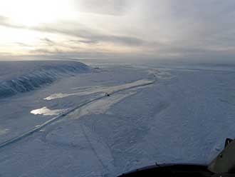
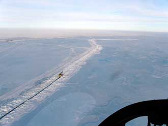
- Good flow of water is seen in the Sagavanirktok River east ice trench and channels. Dalton Highway is seen in the distance, at the top of the photo.
- Water flows in the Sagavanirktok River, staying between the ice trenches. Dalton Highway is seen in the distance, at the top of the photo.
May 10, 2016
Temperatures on the north end of the Dalton Highway are in the high-30’s during the day, lower 30’s at night. Hydrology engineers are on site and monitoring conditions, over the past few days there have not been significant changes in ice conditions.
The National Weather Service forecasts are calling for an increase in temperatures this week and the National Ocean and Atmospheric Administration is predicting above normal temperatures in the coming weeks. The National Weather Service Alaska Pacific River Forecast Center is estimating the Sagavanirktok River will peak May 14. This estimate is dependent on many factors occurring this week.
At this time, the gravel berms and ice trenches are successfully keeping water away from the road. As temperatures increase this week, the volume of flowing water will also increase, as will the risk of flooding. Crews, with equipment and material, are nearby and ready to respond.
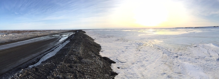
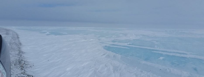
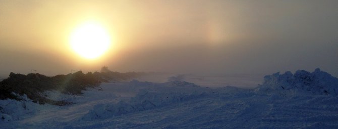
- Panoramic from the edge of the Dalton Highway, looking at the Sagavanirktok River, May 10, 2016. (ADOT&PF photo.)
- Wolf near the Dalton Highway, May 10, 2016. Notice that the animals are not in groups of two, can we take this as a sign of no flooding this year? (ADOT&PF photo.)
May 9, 2016
The Alaska Department of Transportation and Public Facilities (DOT&PF) continues to monitor the north end of the Dalton Highway. The gravel berms, built to protect the road, and the ice trenches, dug to facilitate the flow of water from the Sagavanirktok River, are working. The volume of water flowing in the ice trenches continues to increase; but no water has topped the road.
Work on the gravel berm between Mile 394-397 is complete. Work on the gravel berm between Mile 397-399 will be completed in the next few days.
This week, temperatures are forecast to rise above freezing and be in the 40s by tomorrow. The volume of flowing water and the risk of flooding will continue to increase. Crews are currently working in a material site at Mile 390. If water begins to threaten the road, personnel with equipment and materials and are nearby and ready to respond quickly.
Updates will be shared as conditions change.
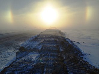
- Left Photo: Berm on the north side of the Alyeska Pipeline / Dalton Hwy crossing. (ADOT&PF photo.)
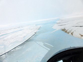
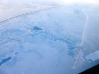
- Right Photo: Aerial view of the Dalton Highway (left side of photo, in the distance) and the Sagavanirktok River (right side of photo). (Alyeska Pipeline Service Co. photo.)
April 30, 2016
Alaska Department of Transportation and Public Facilities (DOT&PF) staff and contractor Cruz Construction continue to work to protect the Dalton Highway, Mile 390-407, from overflow from the Sag River. No water has topped the road.
Currently, the trenches and berms are preventing overflow from impacting the Dalton Highway. Water is flowing in the ice trenches, and ice has formed against the temporary gravel berm at Mile 395 and would otherwise be over the roadway. Last year’s grade raise from Mile 397-405 has kept water from the roadway in several locations.
Excavators that were maintaining the trenches will be pulled off the ice this weekend because of increased temperatures. Next week, contractor Brice Inc. will start construction of a second gravel berm near Mile 398, with the goal of mitigating potential damage to the highway.
Temperatures are beginning to get warmer, and the amount of water flowing near the road is increasing. All indications point to an earlier than normal spring, and the department is preparing for breakup to happen in the next few weeks.
There is potential for repeat flooding this year, though the magnitude depends on future temperatures and river conditions. If there is spring flooding on the Dalton Highway, staged material and equipment will enable the department and contractors to respond quickly.
Updates will be shared as conditions change.
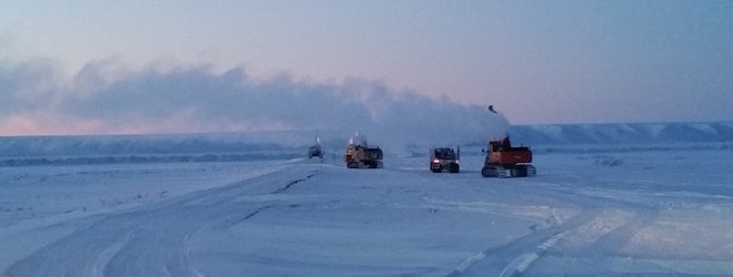
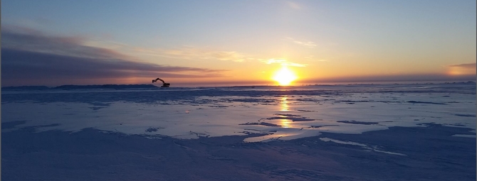
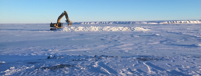
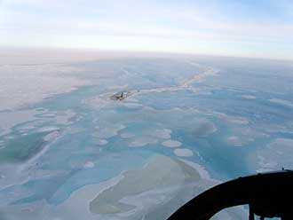
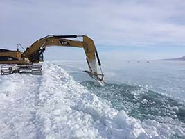
photos: This aerial view shows an excavator maintaining one of the trenches dug to facilitate the flow of water in the Sag River; aerial view of east channel of the Sag River with water flowing. Photos courtesy of Alyeska Pipeline Service Company
April 13, 2016
Alaska Department of Transportation and Public Facilities (DOT&PF) staff and contractor Cruz Construction continue to maintain 15 miles of trenches and 3 miles of gravel berm that are protecting the Dalton Highway (approximately from Mile 390-407) from icing and overflow. No water has topped the road, but considerable overflow is visible and adjacent to the highway.
The past week brought challenging weather to the region, and due to poor visibility, crews were unable to work three days out of the past seven. Crews remain confident they can continue to handle the icing, but are concerned about breakup. Temperatures remain below freezing, but according to the National Oceanic and Atmospheric Administration (NOAA), temperatures are following a trend warmer than normal. The NOAA two-week outlook indicates that temperatures on the North Slope will continue to be average or above average with high winds that will cause ground blizzards.
We have mentioned this before, but it is worth repeating. Last year, breakup happened in mid-May and was quick, with a high peak flow due to unusually warm temperatures in the Brooks Range and surrounding foothills. Due to the current 2016 spring outlook on temperatures, snowpack, and the volume of ice in the Sag River channel/floodplain, NOAA is predicting high flood potential during snowmelt and ice breakup processes. If there is spring flooding on the Dalton Highway, staged material and equipment will enable the department and contractors to respond quickly.
Photos show conditions over the past week on the Dalton Highway.
March 22, 2016
Alaska Department of Transportation and Public Facilities (DOT&PF) staff and contractor Cruz Construction continue to dig and maintain trenches to keep water away from the Dalton Highway. No water has topped the road, but considerable overflow is visible and adjacent to the highway. Crews are confident they can continue to handle the overflow water, though there is concern about what will happen when breakup begins.
The variables considered for breakup flooding risk are:
- the amount and configuration of ice in the Sag River;
- snowpack;
- and spring temperatures (rate of thaw).
Right now, two out of these three conditions are similar to last year, though ice elevation and snowpack can change during the next six to eight weeks.
Last year, breakup was quick with a high peak flow due to unusually warm temperatures in the Brooks Range and surrounding foothills. If there is a gradual spring warmup this year, that might result in less risk of flooding, depending on the amount and configuration of ice in the Sag River channel/floodplain. If there is a week or more of above average temperatures in the Brooks Range as we get closer to spring, the risk of flooding will increase.
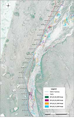
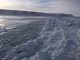
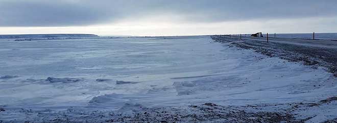
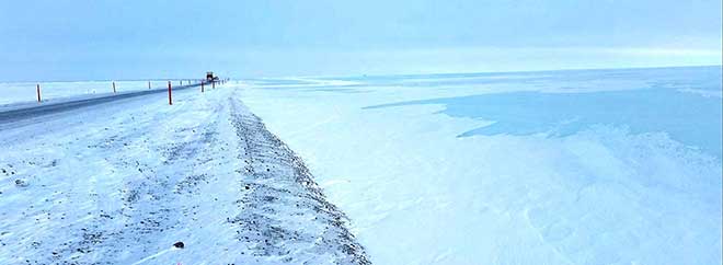
Satellite imagery shows that the trenching effort has diverted flowing water away from the highway. In this image, the dark colored spots indicate locations of flowing water. Originally, there were multiple bright blue areas, meaning water was near the road. Now, there are minimal dark green areas, indicating fewer sections of flowing water near the road.
 |
  |
 |
|
 Click images for larger view. |
|
March 7, 2016
Efforts to protect the northernmost end of the Dalton Highway from overflow continue. No water has topped the road, but considerable overflow is visible and adjacent to the road. The gravel berm at Miles 394-397 was completed last week.
Work is taking place between Miles 399-407. Seven excavators, two profilers and a D8 are being used to dig and maintain trenches to divert water away from the road. Steady progress is being made.
Surveyors were on site this week to gather information for future design and construction projects.
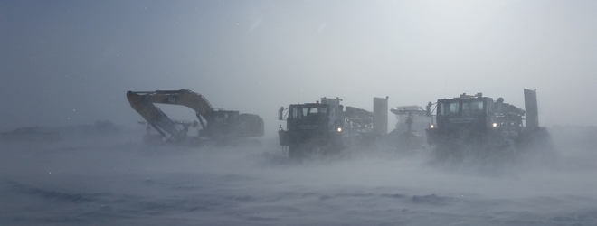
Weather continues to be a challenge, crews have lost several days of work due to blizzard conditions.
Below photos are from the past week.
Feb. 26, 2016
Work on the Dalton Highway at MP 394-397 continues. No water has topped the road, but overflow is visible and adjacent to the road.
- Construction of the gravel berm between MP 394-397 is complete. The berm is approximately 5 feet tall and is in place to protect the road from overflow from the Sag River.
- Crews are continuing to dig trenches to divert overflow near the highway back toward the main channel of the Sag River.
Temperatures in the area continue to be unseasonable warm. Yesterday, the low was -6, and the high was 10 above zero.
Aerial photos show the progress of trench work. Photos show the trenches that are being dug in an effort to open the main channel of the Sag River. The Dalton Highway can be seen in the distance.
Photos Feb. 25, 2016, courtesy of Alyeska Pipeline Company
Feb. 19, 2016
This week, high winds and poor visibility have limited work on the Dalton Highway where crews are trying to keep overflow from reaching the road. No water has topped the road, but an increase in overflow is being observed.
When the weather cooperates, work continues. The focus this week:
- Cruz Construction is working on the gravel berm being constructed from Mile 394-397. The gravel berm currently ranges from 3-5 feet tall, it will be 5 feet tall when completed. At this time, there are 16 pieces of equipment and 18 personnel working to construct the berm, along with three state inspectors.
- DOT&PF maintenance crews are working to reestablish trenches to divert water away from the road. During the storms earlier this week, the trenches were covered. There are two excavators working on this effort.
- Due to the increase in overflow, additional excavators will start working in next few day with the goal of helping to build new trenches. The goal of the trench system is to divert water away from the road and toward the main channel of the Sag River. By early next week there will be four excavators in place.
The grade raise work completed last summer, and this winter’s gravel berm construction is a great advantage when managing the current overflow.
Photos: 1. Aerial photo shows accumulation of overflow in relation to the Dalton Highway.
2. Gravel berm construction.
3. Snow/ice berm near the gravel berm.
Feb. 11, 2016
This week, Cruz Construction continued work on the gravel berm located on the east side of the Dalton Highway, between Miles 394-397. Cruz is hauling material for the berm and then shaping it into place. The completed berm will be approximately 5 feet tall. This is part of an effort to protect the road from overflow from the Sag River.
Alaska Department of Transportation and Public Facilities maintenance staff continues to work to keep overflow water from the road. Crews have placed a snow berm off the road and are digging trenches to divert water away from the road. (Click here to watch a video of the trenching efforts.)
There is no overflow on the road, and efforts will continue with the goal of keeping the overflow water from the highway.
There are no travel restrictions, but drivers should expect pilot cars and delays up to 45 minutes between Miles 394-397. For travel conditions, please check 511.alaska.gov.
Photos: 1. Overflow visible from the Dalton Highway Mile 401.
2. ADOT&PF works to dig trenches to divert water from the Dalton Highway
back to the main channel of the Sag River.
3. Contractor staff hauls gravel for the Dalton Highway Mile 394-397 berm.
Feb. 4, 2016
Work began this week on construction of a gravel berm at Miles 394-397 Dalton Highway, located on the east side of the road. Contractor Cruz Construction began hauling and stockpiling material for the berm. This is part of an effort to protect the road from overflow from the Sag River.
On Wednesday afternoon, work was temporarily suspended because of a storm in the area, which is bringing strong winds and limiting visibility, but work is expected to resume later in the week once the storm passes. Berm construction is slated to continue through the beginning of March.
Also this week, Alaska Department of Transportation and Public Facilities maintenance staff continued to dig a trench at Miles 395.5-396 Dalton Highway to divert water away from the road. Though this effort is also suspended because of the storm, it is expected to resume later in the week once the storm passes.
For travel conditions and updates on road work, please check 511.alaska.gov.
Photos: 1. Contractor staff hauls gravel for the Dalton Highway Mile 394-397 berm Tuesday.
2. Overflow can be seen off to the side of the highway. Photos courtesy ADOT&PF
Jan. 27, 2016
The Alaska Department of Transportation & Public Facilities (ADOT&PF) continues to monitor overflow on the Dalton Highway, from Mile 394-401. Overflow continues to expand and is increasingly visible from the road. Conditions today are similar to conditions in March 2015.
At this time, ADOT&PF is using berms constructed of snow, burlap and rebar to minimize the amount of water reaching the road.
The department is working to utilize contracted personnel in the near future, with the goal of starting construction on a gravel berm that will protect the road from Mile 394-397. The gravel berm will tie into the raised section of road at Mile 397.
This video from Jan. 26 shows overflow visible from the Dalton Highway: vimeo.com/153306691
Jan. 24, 2016
After reviewing current overflow patterns and locations on the Dalton Highway, the Alaska Department of Transportation & Public Facilities (ADOT&PF) is moving forward with contingency plans to protect the road from the Sag River.
ADOT&PF is pursuing construction of a gravel berm adjacent to the Dalton Highway. The berm will be constructed on the east side of the road, from Mile 394-397. At Mile 397, the berm will connect with the raised roadway, which was constructed last summer.
Work on the berm is expected to begin mid-February, at the latest. Until then, crews will continue building berms with snow, burlap and rebar to keep overflow away from the road.
The Dalton Highway is vital infrastructure to the state, ADOT&PF is working diligently to protect the road.
The next update will be Wednesday, Jan. 27, unless new information becomes available prior to that date.
Dalton Highway - Jan. 22, 2016. Overflow near the highway at MP 395. Photos courtesy ADOT&PF
Jan. 21, 2016
The Alaska Department of Transportation and Public Facilities (ADOT&PF) is monitoring the Dalton Highway from Mile 395-405 due to an emergence of overflow near the road. This is the same location where ice developed last spring and caused unprecedented flooding on the Dalton Highway.
At this time, the overflow is minimal and does not threaten the road or traffic. ADOT&PF, Alyeska Pipeline Service Company and the University of Alaska Fairbanks, with climate data provided by the National Oceanic and Atmospheric Administration, are monitoring and in the process of evaluating the extent of the overflow. Remote markers and sensors have been installed along the road corridor, and satellite imagery is being used to help identify where the overflow is traveling.
ADOT&PF crews are building snow berms and installing burlap fences. The burlap wicks water up then freezes in place, to form overflow ice barriers adjacent to the road.
If the water level continues to rise and additional mitigation is necessary, substantial gravel and equipment are available nearby. Last summer, the grade of the road from Mile 397-405 was raised 8-10 feet and is significantly higher than it was last spring.
Recent temperatures in the area have been 20 to 30 below zero; this is helping to reduce the amount of overflow visible from the road.
Updates will be sent if conditions change significantly.
Further Information
Media inquiries:
Meadow Bailey,
![]() meadow.bailey@alaska.gov
meadow.bailey@alaska.gov
or call
![]() (907) 451-2240.
(907) 451-2240.
Road conditions are posted at 511.Alaska.Gov, or call 511 from any phone in Alaska.
Travel conditions:
511.Alaska.Gov or call 511
2015: Dalton Highway 401-414 Reconstruction, this project started in 2015 and will continue in 2016. Original construction contract award is $27 million. The scope of the project is to reconstruct the Dalton Highway from Mile Post 401-414, improvements include raising the grade seven feet, replacing culverts and surfacing the road.
In 2015 this project was extended south to MP 397 and the contract amount increased to $43 million due to flooding and repairs.
2016: Dalton Highway 379-397 Reconstruction, scheduled for construction in 2016 and 2017. Construction contract award is $31 million. The scope of the project is to reconstruct the Dalton Highway from Mile Post 379-397, improvements including raising the grade seven feet, replacing culverts and surfacing the road.

