
Learn about
Eagle -
Learn about
Fortymile River
The Taylor Highway provides access to the historic Fortymile gold mining district. It's a narrow winding and beautiful road that joins the Top of the World Highway, which leads to Dawson City, Yukon Territory.
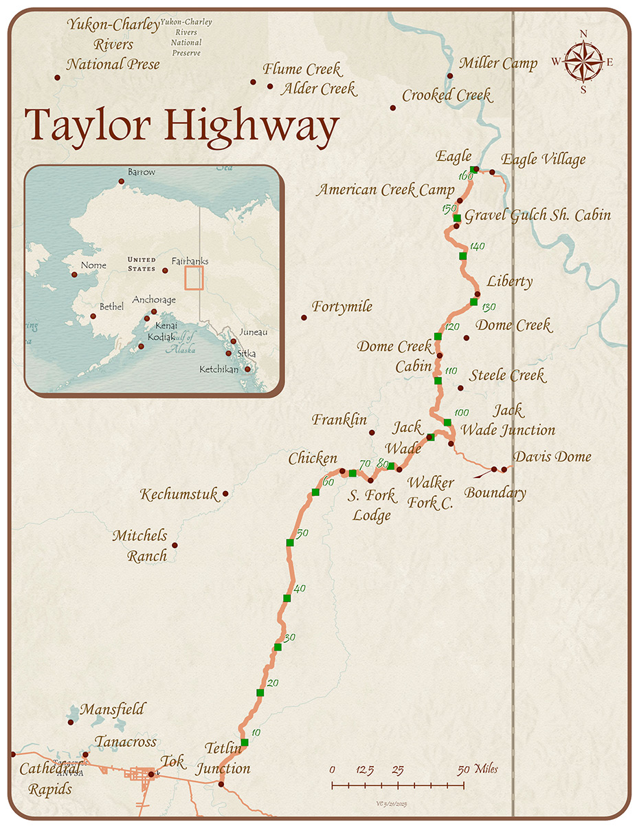
 Gold mining dredge on Jack Wade Creek.
Credit: Dan Gullickson, BLM
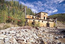
 Wayside near the Yukon border on the Top of the World Highway.
Credit: Sharon Wilson, BLM
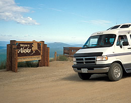
 Mosquito Fork of the Fortymile River near Chicken.
Credit: Craig McCaa, BLM

- Keep your camera ready for spectacular
views of the Alaska Range and the Mentasta Mountains
as you head out of Tetlin Junction.
- Pass through the Fortymile goldfields,
made famous in Jack London novels. The Fortymile
River system is a National Wild & Scenic River
with miles of exciting whitewater.
- Visit Chicken, a town named by
early settlers unable to spell Ptarmigan.
- The Top of the World Highway joins
the Taylor Highway at Jack Wade junction.
- Continue on to the U.S./Canada
border at Boundary, then to Dawson City, 78 miles
farther. Look for old mine workings along the
way.
Caution: Road conditions vary. The Taylor and Top of the World Highways are mostly gravel with several steep, narrow grades and long distances between services. Winter road maintenance is not provided.

Questions about the Scenic Byways web site?  dot.scenic.byways@alaska.gov
